Ziply Fleet · Features · Commercial Maps & Truck Routing
Routes a Class 8 can actually take
A full-screen commercial map built for trucking: plan truck-legal routes that respect bridge heights, see per-state miles for IFTA, and watch your fleet move live from your ELD.
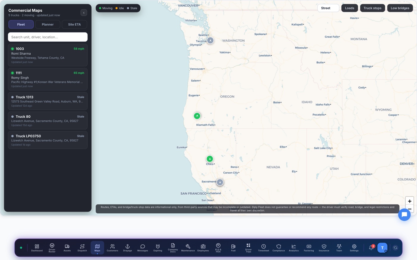
Truck-legal route1,146 mi · 17h 32m · avoids 2 low bridges
Why carriers pick Ziply for commercial maps & truck routing
Truck-legal routing
Height and weight-aware routes with low-clearance warnings — not car directions with a truck icon.
Per-state miles built in
Every planned route breaks out mileage by state — the number IFTA actually wants.
Your whole fleet, live
ELD GPS positions with moving/idle/stale states, breadcrumbs, truck stops and your loads overlaid.
How it works
- Open Maps from the dock
- Plan a route with truck restrictions on
- Read per-state miles instantly
- Track the truck live against the plan